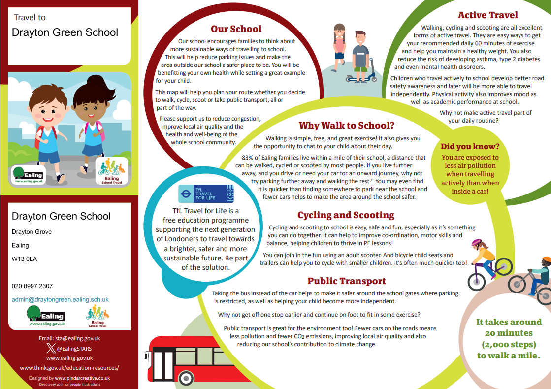
Travel to school
Ealing Council have created Active Travel maps for schools.
The aim is to encourage walking, wheeling, cycling and scooting on the school journey.
Wlaking, cycling or scooting to school is healthier for the children and better for the environment!
The maps show popular walking routes, times these routes take to walk, Park and Stride areas for those who must drive, as well as safer places to cross, such as zebra and pelican crossings.
Active travel benefits
- families often find it’s quicker than driving
- great way to tackle child inactivity
- counts toward the recommended 60 minutes of daily physical activity
- pupil concentration is improved for up to four hours
- reduced congestion means the roads are safer
- less traffic means improved air quality.
Please use the map to see if you can walk or scoot to school safely or to find out where you can park and stride if you have to travel from further away to get to school.
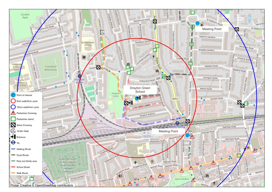
Please be aware that the maps may change and be updated as school streets are established.
Click on this link to the see the most up to date version of the map.